To add a resource, simply fill out this form and we’ll add it to the library!
Filter by Date
Resources Found:
Filter Selections:
July 2026
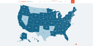
Use this map to look through environmental policies trending across the country and in your state.
July 2026
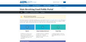
The State Revolving Fund, or SRF, Public Portal allows users to access data from both the Drinking Water and Clean Water SRF programs through interactive reports, dashboards, and maps

June 2026
It is our hope to provide easy to interpret public water quality data so residents and visitors can make responsible recreation choices.
June 2026
Americans need to understand climate because the very best solutions to our country’s climate-related challenges will emerge from the collective action and creativity of a climate-literate public.
April 2026
Since 1998, ASCE has issued a quadrennial assessment of the United States’ infrastructure networks, known as the Report Card for America’s Infrastructure.
April 2026
Covering the 44,000+ Community Water Systems across the nation, this data product harmonizes information across sources and scales so policymakers, advocates, researchers, utilities, and communities can use drinking water data to improve environmental and public health outcomes.
March 2026
Building on the insights and relationships developed through the Aspen-Nicholas Water Forum, the Aspen National Water Strategy Initiative advances a coordinated vision for U.S. water governance.
March 2026
Beyond 2050: The Economic Imperative of Water Infrastructure Investment distills decades of operational experience, national research and real-world examples into a guide for decision-makers.
February 2026
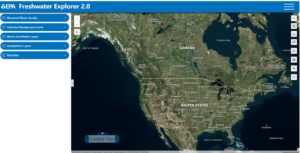
EPA's Freshwater Explorer is an interactive web-based mapping tool for water quality parameters of freshwater streams, lakes, and groundwater wells in all 50 U.S. states, Puerto Rico, and the U.S. Virgin Islands.
February 2026
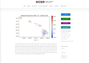
The overarching goal of the HCDP is to provide streamlined access to high-quality reliable climate data and information for the State of Hawai‘i and for parts of the Pacific.
February 2026
We are excited to share our inaugural Annual Climate Report for the State of Hawai'i.
February 2026
Connecticut’s access to this tool will allow our citizens to adapt to a changing climate and avoid environmental-related hardship.
February 2026
The Climate Tech Map seeks to ignite bold, scalable breakthroughs and drive ambitious global investment in existing, emerging, and yet-to-be-discovered climate technologies.
January 2026
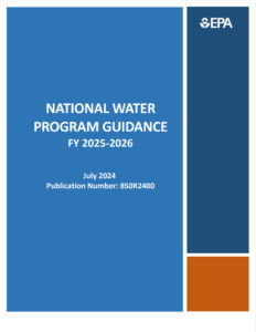
For FY 2025-2026, the Office of Water will focus on the following priorities.
December 2025
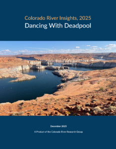
As our report’s sub-title suggests, we have now entered a new era: Dancing with Deadpool.
December 2025
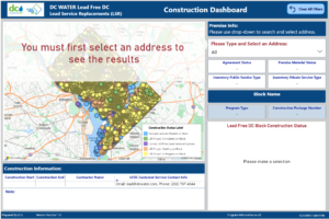
This dashboard provides construction updates for active and planned lead service line replacements.
December 2025
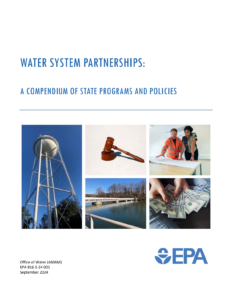
This guide contains information about programs, statutes, and policies implemented in the 50 states and Puerto Rico that encourage partnerships between drinking water systems.
October 2025
Our Flint Drinking Water Training is officially recognized in the Civic Tech Field Guide, joining a select group of innovations advancing public health, drinking water infrastructure resilience, and community trust.
October 2025
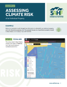
This resource is a walk-through example of using SAHF’s process for a hypothetical property in New Orleans, LA.
October 2025
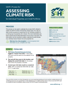
This resource provides a step-by-step guide for affordable housing providers to replicate the process SAHF used for the SAHF Portfolio Climate Risk Assessment.
October 2025
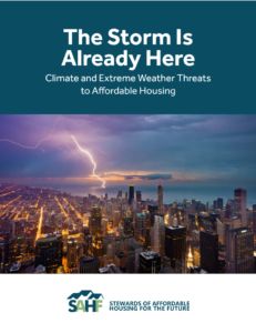
SAHF’s climate risk assessment and accompanying resources were created to provide support in identifying portfolio-level trends and priority properties and to give affordable housing providers a pathway towards addressing risk.
September 2025
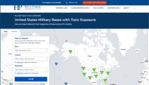
Use our map to discover toxic exposures at bases across the country. Enter your search credentials in one or more of the filters available below, then click “Search.”
August 2025
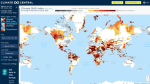
The Climate Shift Index (CSI) reveals how much climate change influences the temperature on a particular day.
August 2025
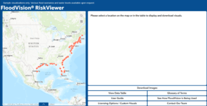
Sample visualizations only. Various flood scenarios and water levels available upon request.