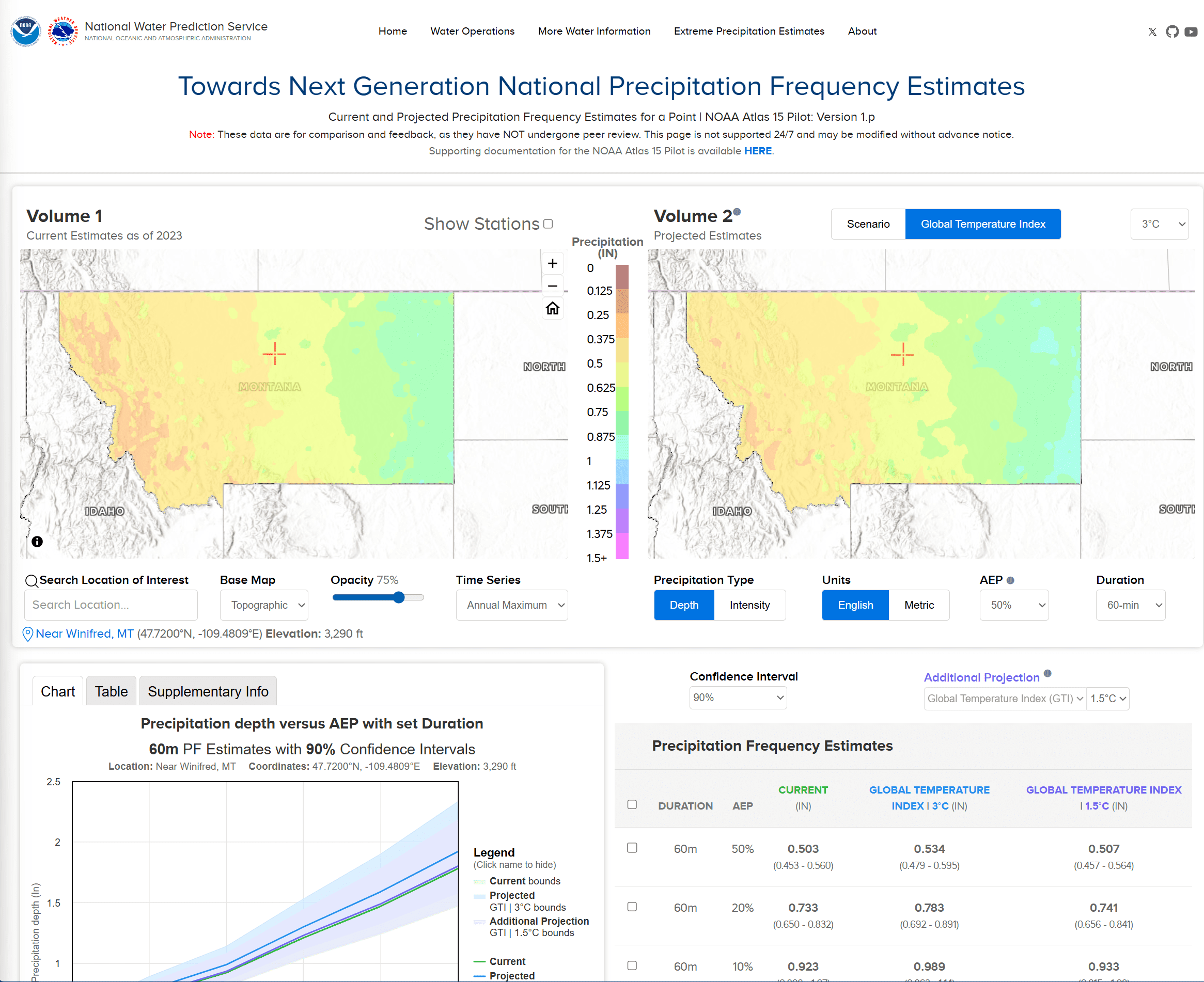
In order to collect feedback early in the development process, NOAA released the NOAA Atlas 15 Pilot data over the state of Montana on September 26, 2024. With this early release, collaborative NOAA teams, including the National Centers for Environmental Information (NCEI), demonstrated to a large number of stakeholders the nature of the Atlas 15 data to ensure practitioners have the precipitation information they need, upon final publication.
The NOAA Atlas 15 Pilot covered estimates for a subset of storm durations (1 hour to 10 days) and average annual exceedance probabilities (50% to 1%), and was presented in two volumes.
The release of the NOAA Atlas 15 pilot data was intended for comparison and feedback purposes as it did not go through the peer review process. Both the data and web dissemination strategies are subject to change as a result of public feedback received and planned enhancements.
More About this Resource
Publisher: NOAA National Water Prediction Service
Date: August 5, 2025
Type: Data Tool
Tags: Precipitation
Jurisdiction: Montana
