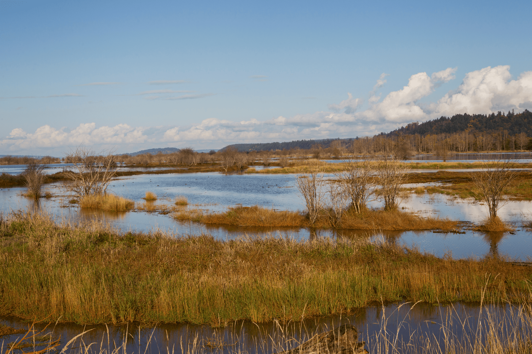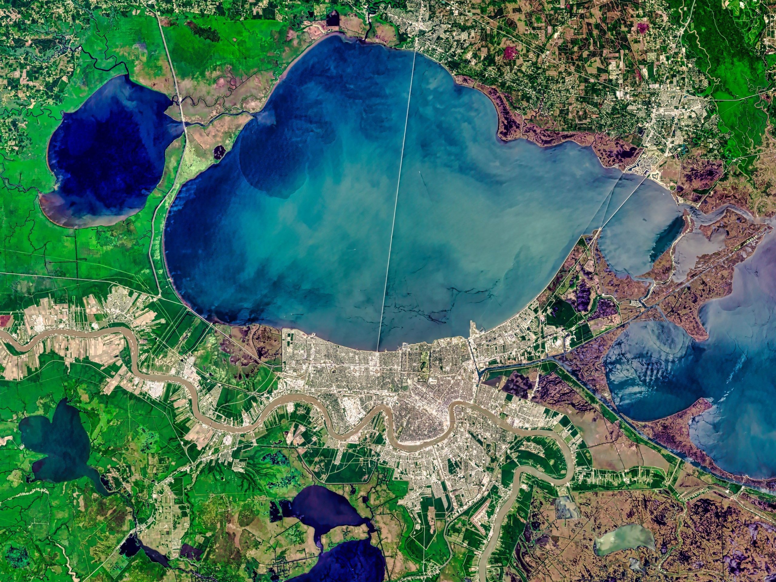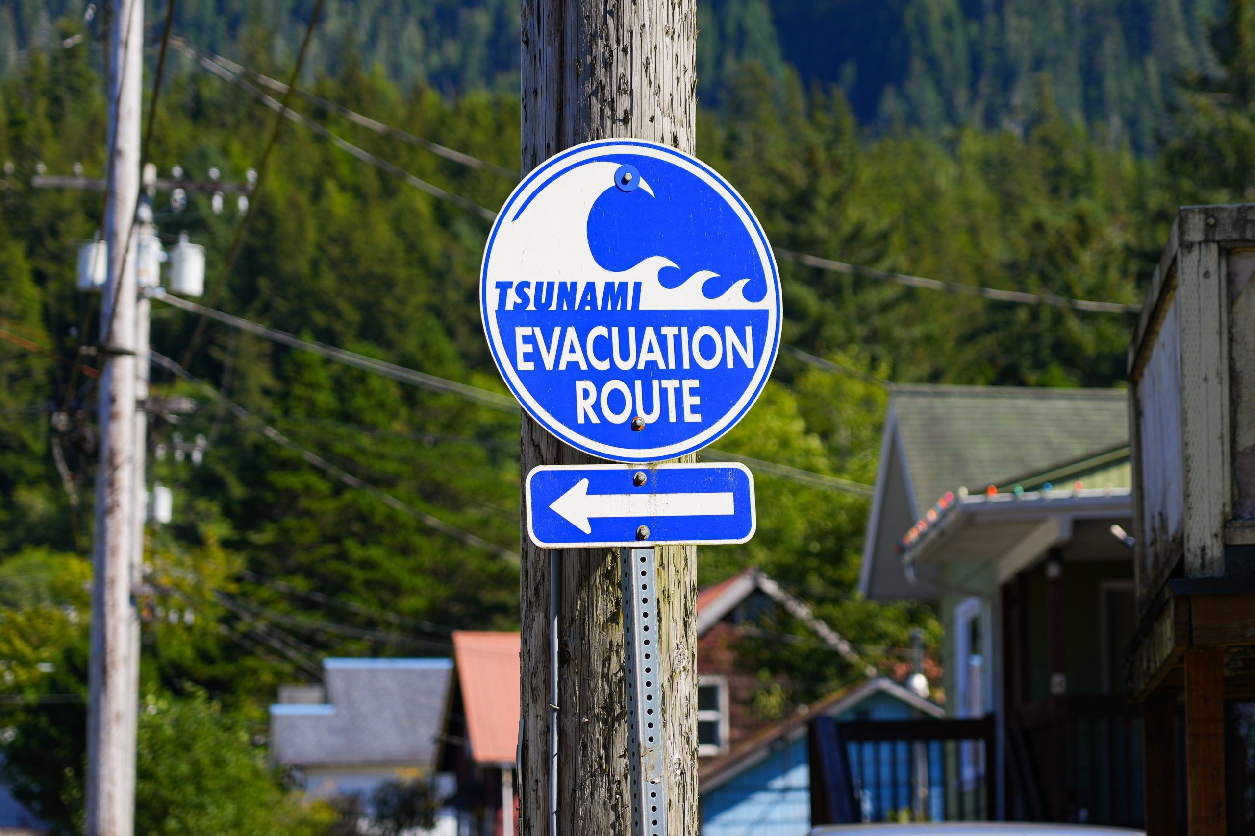
Wetlands provide vital ecosystem services and are home to diverse flora and fauna. Also known as bayous, bogs, or swamps, wetlands are located either on coasts or inland. Either way, these ecological transition zones consist of fresh or brackish water stagnantly laying on top or right below a layer of soil.
Why are our wetlands important?
Wetlands have the capacity to be flooded permanently or seasonally. They gulp down rainwater, diverting it away from flooding human environments — especially during extreme weather events such as hurricanes. The aquatic structures formed by wetland plants and their roots also work as natural filters. Runoff containing chemical contaminants such as PFAS or fertilizers have their passage toward larger bodies of water blocked by wetlands, maintaining water quality for consumption and preventing pollution.
Wetlands are also critical season hosts to migratory birds and are year-round homes and breeding grounds for reptiles, fish, and shellfish. Coastal communities depend on the local fishing industry and the rice patties fostered in wetlands.
Finally, wetlands function as carbon sinks. A third of the world’s carbon is sequestered in wetlands. When they are damaged or destroyed, that carbon returns to the atmosphere.
Sackett v. EPA and the threats facing wetlands
Despite their benefits, wetlands are under threat. In 2018, a UN climate report noted that wetlands are disappearing worldwide at a pace three times faster than forests. Urbanization and population growth along coastlines, over-pollution, over-draining, and disruptions to the natural flows that connect wetlands to other bodies of water, have eliminated 640,000 acres of wetlands between 1996 and 2016.
Funding from the Inflation Reduction Act and the Infrastructure, Investment, and Jobs Act (IIJA) ascribe urgency to slowing the rate of wetland destruction. Geographic-specific programs in the Lake Champlain Basin and the San Francisco Bay rare focused on preserving and remediating these environments. IIJA’s $160 million Regulatory Program administered by the Army Corps of Engineers also pays special attention to ensuring compliance to federal laws so that wetlands are protected.
However, recent events put wetlands in a new degree of peril. In May, the Supreme Court ruled on Sackett v. EPA, resulting in a new distinction for which waters can be regulated under the Clean Water Act. The decision cuts the federal government’s ability to limit discharge and pollution into wetlands close to larger bodies of water, unless a “continuous surface connection” can be drawn. The decision makes wetlands alarmingly more vulnerable to pollution and destruction, especially in regions with weak or no local protections — a topic we will explore in next week’s digest.
About the Wetlands Impact Tracker
In an effort to help stakeholders and communities track development on sensitive lands and waters, including disadvantaged communities, Atlas has developed a dashboard compiling USACE public notices of projects affecting wetlands. This dashboard uses advancements in artificial intelligence (AI) and pattern recognition to compile public notices of permit applications evaluated by the U.S. Army Corps of Engineers (USACE) and spans the Gulf Coast region, namely Alabama, Florida, Louisiana, Mississippi, and Texas. Hosted by the Climate Program Portal, the Tracker is open and free to all users.
Notices are tracked for any development work affecting the nation’s navigable waters within targeted districts, such as oil and gas projects, residential and recreational construction, dredging activities, and more. The Tracker extracts structured data from public notices that are typically buried in PDF documents. This process is fully automated, using pattern recognition and AI to extract fields of interest. The Tracker surfaces information for individual notices, the impact type and size, if the project is in a disadvantaged community, public comment period status, population metrics, and other location data. In addition, the Tracker can aggregate impacts across project types and geographies, allowing for cumulative impact analysis.
The Wetlands Impact Tracker will be continuously maintained to provide the most up-to-date information on USACE permitting in the Gulf Coast region. Users can search for specific criteria using keywords and a variety of filters to find data that aligns best with their research needs. Additionally, the Tracker makes available the underlying code for users.
Learn more about the Wetlands Impact Tracker, its features, and how best to use it at a webinar and Q&A session on January 31st at 1:00pm EST. Register here.


